Airport type Public Elevation AMSL 633 ft / 193 m 15/33 4,050 Phone +1 231-352-9118 | Website FrankfortDowField.com Elevation 193 m | |
 | ||
Owner Frankfort City-County Airport Authority Address 650 Airport Rd, Frankfort, MI 49635, USA Similar Cherry Capital Airport, Northwest Soaring Club, Benzie County Governm, Manistee County Blacker A, Thompso Airport | ||
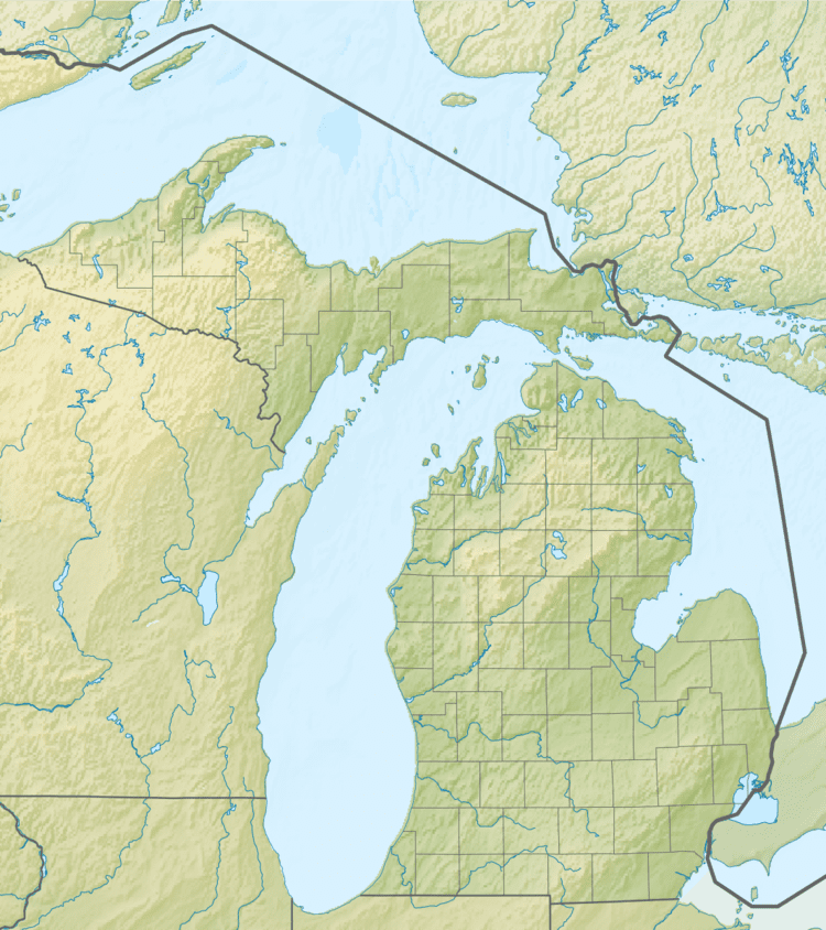
Frankfort Dow Memorial Field (ICAO: KFKS, FAA LID: FKS, formerly 3D4) is a public use airport located two nautical miles (3.7 km) southeast of the central business district of Frankfort, a city in Benzie County, Michigan, United States. It is owned by the Frankfort City-County Airport Authority. It is included in the Federal Aviation Administration (FAA) National Plan of Integrated Airport Systems for 2017–2021, in which it is categorized as a general aviation facility.
Contents
Although many U.S. airports use the same three-letter location identifier for the FAA and IATA, this airport is assigned FKS by the FAA and no designation from the IATA (which assigned FKS to Fukushima Airport in Fukushima Prefecture, Japan).
Facilities and aircraft
Frankfort Dow Memorial Field covers an area of 168 acres (68 ha) at an elevation of 633 feet (193 m) above mean sea level. It has one runway designated 15/33 with an asphalt surface measuring 4,050 by 75 feet (1,234 x 23 m). The airport is staffed from 8AM until 5PM.
For the 12-month period ending December 31, 2007, the airport had 4,000 general aviation aircraft operations, an average of 10 per day. At that time there were 23 aircraft based at this airport: 65.2% single-engine, 4.3% multi-engine, 26.1% glider and 4.3% ultralight.
Transit
The airport is accessible by road from Airport Rd, and is close to M-22 and M-115.
