
 | ||
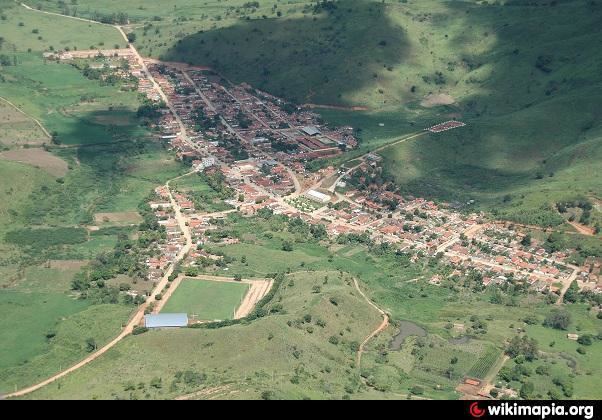
Franciscopolis is a Brazilian municipality located in the northeast of the state of Minas Gerais. Its population as of 2007 was estimated to be 5,664 people living in a total area of 715 km². The city belongs to the mesoregion of Vale do Mucuri and to the microregion of Teófilo Otoni. It became a municipality in 1997.
Map of Francisc%C3%B3polis - State of Minas Gerais, Brazil
Franciscopolis is located on at an elevation of 380 meters, 70 km. east of Teófilo Otoni. The distance to the state capital, Belo Horizonte, is 546 km. Neighboring municipalities are: Malacachata, Poté, Água Boa, Itambacuri and Teófilo Otoni.
The main economic activities are services, small industries, and agriculture. The GDP in 2005 was R$18 million, with 9 million from services, 1 million from industry, and 7 million from agriculture. There were 612 rural producers on 50,000 hectares of land. Only 22 farms had tractors (2006). Approximately 1,500 persons were dependent on agriculture. The main crops were coffee, sugarcane, beans and corn. There were 33,000 head of cattle (2006). There were no banks (2007) and 85 automobiles (122 motorcycles), giving a ratio of 66 inhabitants per automobile.
There was 1 health clinic. Patients with more serious health conditions are transported to Teófilo Otoni. Educational needs were met by 3 primary schools, 1 middle school, and 1 pre-primary school.
In 2000 the per capita monthly income of R$71.00 was well below the state and national average of R$276.00 and R$297.00 respectively.
The highest ranking municipality in Minas Gerais in 2000 was Poços de Caldas with 0.841, while the lowest was Setubinha with 0.568. Nationally the highest was São Caetano do Sul in São Paulo with 0.919, while the lowest was Setubinha. In more recent statistics (considering 5,507 municipalities) Manari in the state of Pernambuco has the lowest rating in the country—0,467—putting it in last place.