
Reference no. 584 Local time Tuesday 8:26 PM | State California Fort Miller 1852 Elevation 171 m | |
 | ||
Weather 21°C, Wind SE at 3 km/h, 57% Humidity | ||
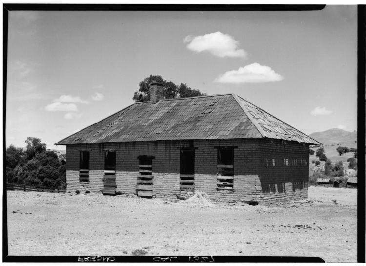
Fort Miller (originally, Camp Barbour then Camp Miller) is former fort on the south bank of the San Joaquin River in what is now Madera County, California. It lay at an elevation of 561 feet (171 m). The site is now under Millerton Lake formed by the Friant Dam in 1944. It is registered as California Historical Landmark #584.
Some 150 miles upriver from Stockton, it was originally a California Militia post Camp Barbor during the Mariposa War, it became a U. S. Army post Camp Miller in 1851, and Fort Miller in 1852, named after Major Albert S. Miller. The Army abandoned the post on December 1, 1866. The former settlement Rootville, later called Millerton, grew up nearby the fort to the west on the Stockton - Los Angeles Road in what was then Mariposa County, Tulare County and then Fresno County.