
NRHP Reference # 08000320 Designated VLR December 5, 2007 Year built 1861 Added to NRHP 16 April 2008 | VLR # 046-0037 Area 9 ha Phone +1 757-357-0115 | |
 | ||
Location Approx. 50 yds from jct. of Old Machlesfield Rd. and Macklesfield Ct., near Smithfield, Virginia Address 15080 Talcott Terrace, Smithfield, VA 23430, USA Hours Closed now Tuesday10AM–4PMWednesday10AM–4PMThursday10AM–4PMFriday10AM–4PMSaturday10AM–4PMSunday12–4PMMonday10AM–4PM Similar Fort Boykin Archaeological Site, St Luke's Church, Windsor Castle, Boykin's Tavern, Isle of Wight County M | ||
General robert e lee at fort huger virginia
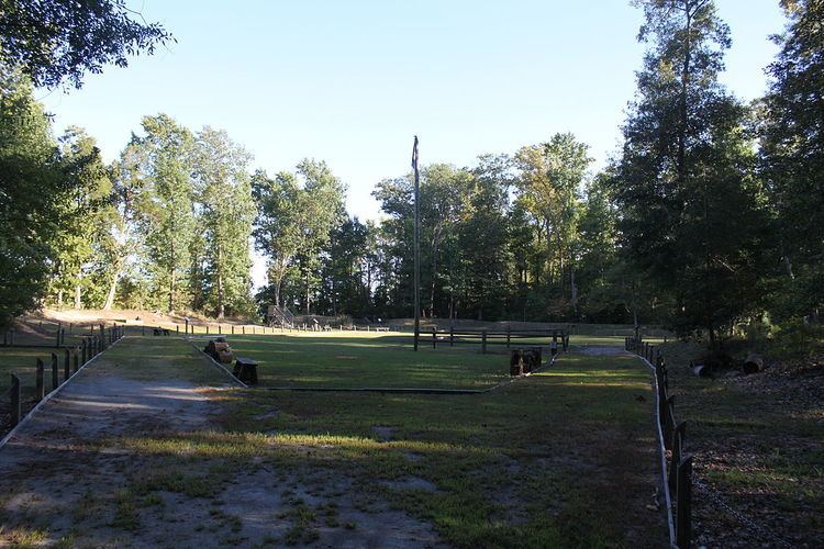
Fort Huger is a historic archaeological site located near Smithfield, Isle of Wight County, Virginia. The site is the location of an abandoned American Civil War fort on the south side of the James River across from Fort Eustis / Mulberry Point. Fort Huger was an integral part of the Confederate States Army James River defenses in late summer 1861 through spring 1862.
Contents
Fort Huger is a strategic Civil War fort located on a bluff overlooking the James River.
Between June 1861 and May 1862, the Confederate Army cleared and fortified Fort Huger as one in a series of earthworks design to prevent invasion by the Union, whose buildup at the mouth of the James River posed a severe threat to Richmond. Commander of the Virginia forces Robert E. Lee ordered Col. Andrew Talcott, State Engineer of Virginia, to design this fort. Similar defensive works were also in place such as Fort Boykin, Mulberry Island, Jamestown Island and Drewery's Bluff. The forts were part of Confederate Major Gen. John Bankhead Magruder’s defensive line facing Federal forces using Fort Monroe at Old Point Comfort as their base of operations.
The fort, sited on Harden’s Bluff, was named Fort Huger for Gen. Benjamin Huger who commanded the Department of Norfolk. Slaves and free blacks constructed the fort under direction of the Confederate Engineer Bureau, and detachments of Lt. Col. Fletcher Archer’s 5th Virginia Infantry Battalion were posted here.
Isle of Wight County restored and interpreted this fort and opened it to the public in 2007.
Fort Huger is listed on the National Register of Historic Places, Virginia Landmarks Register, Virginia Civil Wars Trail, Chesapeake Bay Gateways Network, Captain John Smith’s Trail: Lower Oyster Loop and Cornell eBird System.
It was listed on the National Register of Historic Places in 2008.