
NRHP Reference # 85001675 Area 6 ha Added to NRHP 1 August 1985 | Built 1861 (1861) Opened 1861 Phone +1 757-357-0115 | |
 | ||
Address 7410 Fort Boykin Trail, Smithfield, VA 23430, USA Similar Fort Huger, Windsor Castle, St Luke's Church, Boykin's Tavern, Isle of Wight County M | ||
Fort boykin historic park
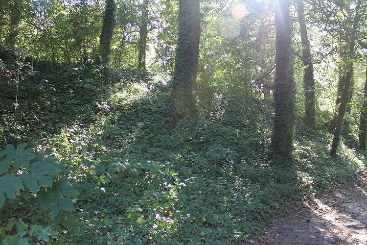
Fort Boykin is a historic site in Isle of Wight County, Virginia, located along the James River. The history of the site is believed to date back to 1623 when colonists were ordered to build a fort to protect them from attacking Native Americans or Spanish marauders. The original fort, called The Castle or The Fort at Warroskoyack, would have had a triangular shape and been surrounded by a ditch. The earthworks would have been topped by palisade walls. As those threats became less of a concern, the fort was eventually abandoned.
Contents
During Bacon's Rebellion in 1677, Fort Boykin was active according to the journal of the ship Young Prince.
During the American Revolution, the area where The Castle was located was refortified. The new fort was named Fort Francis Boykin in honor of a local officer in the Continental Army, who was then the owner of the site. It was also known as the Fort at the Rocks, the Rocks being the name of the adjacent plantation . What little was left of The Castle was enlarged upon with new ramparts and gun emplacements added. Military records list no engagements with the enemy either at the fort or in its vicinity and after the British surrender in 1781, the fort was yet again abandoned.
The fort is believed to have been reworked again during the War of 1812 when it was enlarged to the shape of a five-pointed star. Although the records do not reveal any direct engagements with the fort, it is known that the British ship HMS Plantagenet lay offshore in the river for several months. During that time, the British attempted to land at the wharf of The Rocks plantation, only to be beaten back by the men stationed at the fort. After the war was over, the fort was left to the elements.
The American Civil War brought a renewed interest in the fort by the Confederate army, and the size was doubled from that of its previous incarnation.
Between June 1861 and May 1862, the Confederate Army cleared, refurbished and refortified Fort Boykin as one in a series of earthworks design to prevent invasion by the Union, whose buildup at the mouth of the James River posed a severe threat to Richmond. Commander of the Virginia forces Robert E. Lee ordered Col. Andrew Talcott, State Engineer of Virginia, to redesign Fort Boykin. Similar defensive works were also in place such as Fort Huger, Mulberry Island, Jamestown Island and Drewery's Bluff.
In May 1862, the fort was fired upon by a Union Navy fleet consisting of the USS Minnesota, Galena and Susquehanna. Realizing that their guns were no match to the superior Union guns, the soldiers manning the fort retreated. Union soldiers who came ashore a few days later destroyed what they could and blew up the powder magazine. For the remainder of the war, the site was used by the Confederate Signal Corps among whose ranks included poet Sidney Lanier.
After the Civil War, the fort was no longer to be used as a military installation and was again left to be overgrown shadow of itself. The property was bought in 1908 and a house was built inside its earthworks. After the last owner died in 1976, the fort was given to the state for public use. Today the fort remains largely intact, but most of the front wall facing the river has eroded away. It is now the property of Isle of Wight County, and is a public park. It was listed on the National Register of Historic Places in 1985 for its archaeological potential.