
Prominence 700 m (2,300 ft) Elevation 1,332 m | Topo map 1620 II Dalsbygda | |
 | ||
Isolation 35.9 kilometres (22.3 mi) Similar Håmmålsfjellet, Ilfjellet, Snøhetta, Resfjellet, Ruten | ||
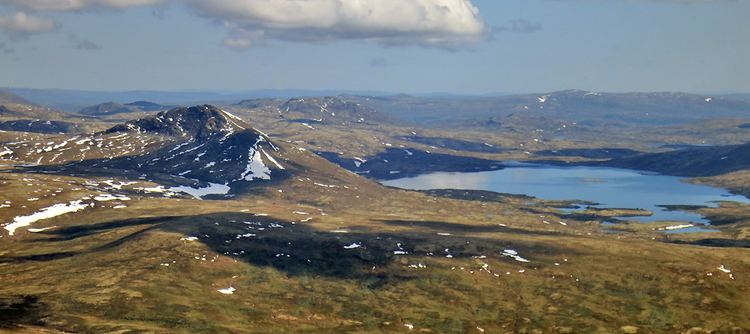
Forollhogna (or Forelhogna) is a mountain located on the border between three municipalities in Norway: Midtre Gauldal and Holtålen (in Sør-Trøndelag county) and Os (in Hedmark county). The 1,332-metre (4,370 ft) tall Forollhogna is the highest mountain inside Forollhogna National Park.
Map of Forollhogna, 2550 Os i %C3%98sterdalen, Norway
The mountain is about 27 square kilometres (10 sq mi) southeast of the village of Enodden and about 30 kilometres (19 mi) northwest of Røros.
References
Forollhogna Wikipedia(Text) CC BY-SA