
Demonym(s) Formiani Local time Tuesday 11:19 PM | Elevation 19 m (62 ft) | |
 | ||
Frazioni Castellonorato, Gianola-Santo Janni, Marànola, Penitro, Trivio Weather 10°C, Wind NE at 6 km/h, 75% Humidity Points of interest Cisternone Romano, Museo Archeologico Nazionale, Spiaggia di Vindicio, Fontana di San Remigio Patron saints Erasmus of Formia, John the Baptist | ||
Formia italy italien 17 10 2015
Formia is a city and comune in the province of Latina, on the Mediterranean coast of Lazio (Italy). It is located halfway between Rome and Naples, and lies on the Roman-era Appian Way. It has a population (2011) of 36,331.
Contents
- Formia italy italien 17 10 2015
- Map of 04023 Formia Province of Latina Italy
- La citt di formia
- History
- Geography
- Main sights
- Sport
- Transportation
- Twin towns
- Notable people
- References
Map of 04023 Formia, Province of Latina, Italy
La citt di formia
History
Formia was founded in ancient times by the Laconi and named in Greek, Ὁρμίαι (hormiai, meaning "landing place") and later in early Latin, Ormiae. In the Roman Republic era it was called Formiae (derived from Hormia or Ormiai, for its excellent landing). It was a renowned resort during the imperial era.
Cicero was assassinated on the Appian Way outside the town in 43 BC, and his tomb remains a minor tourist destination. The city was also the seat of St. Erasmus's martyrdom, by being disemboweled around 303 AD, during the persecutions of Diocletian. St. Erasmus later also became known as Saint Elmo the patron saint of sailors.
After the fall of the Western Roman Empire, the city was sacked by barbarians and the population moved to two distinct burghs on the nearby hill, which were under the rule of Gaeta. Charles II of Anjou built a fortress in the maritime burgh, Mola di Gaeta. The other burgh was known as Castellone, from the castle erected there in the mid-14th century by Onorato I Caetani, count of Fondi.
The two villages were united again in 1863 under the name of Formia. The reunited city was badly damaged in 1943–44 in bombing operations and the Battle of Anzio.
Geography
Formia lies on the Tyrrhenian Sea, in southern Lazio, close to the town of Gaeta and next to the borders of Campania region.
The municipality borders with Esperia (FR), Gaeta, Itri, Minturno and Spigno Saturnia. It counts the hamlets (frazioni) of Castellonorato, Gianola-Santo Janni, Marànola, Penitro and Trivio.
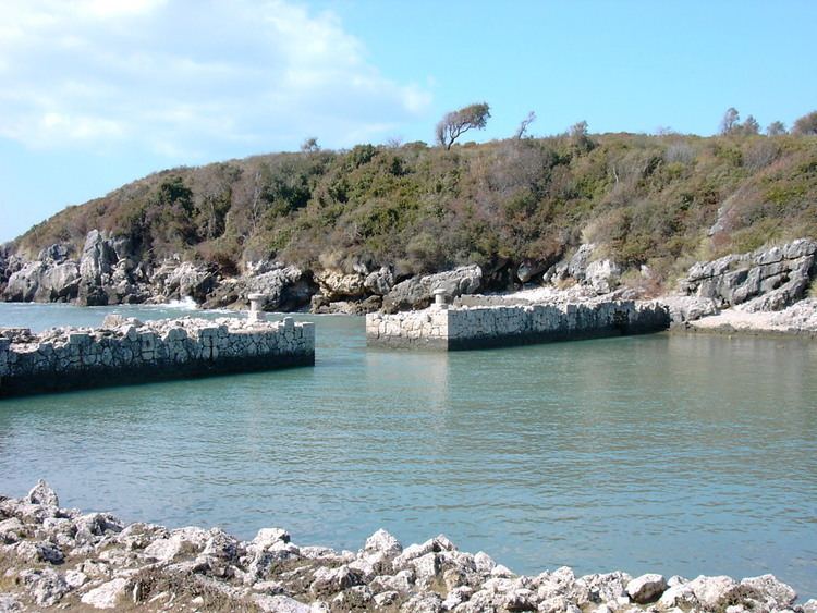
Main sights
The most famous monument of Formia is the mausoleum traditionally identified with the Tomb of Cicero: it is a 24-metre-high (79 ft) tower on the old Appian Way, enclosed in a large, 83-by-68-metre (272 by 223 ft) funerary precinct.
Other sights include:
Sport
Formia is the seat of the National Athletics School of the Italian National Olympic Committee, founded in 1955. Athletes such as Pietro Mennea and Giuseppe Gibilisco trained here.
Transportation
Formia itself is the most important transportation hub of southern Lazio. The Rome–Formia–Naples railway passes through Formia-Gaeta railway station, from which visitors and residents may travel by bus to Gaeta, Minturno, Spigno and other local towns.
Ferries and hydrofoils connect Formia to Ponza, Ischia and Ventotene.