
Airport type Public 4/22 2,400 Elevation 91 m | Owner City of Forks Elevation AMSL 299 ft / 91 m 2,400 732 Phone +1 360-374-5412 | |
 | ||
Address S Forks Ave, Forks, WA 98331, USA | ||
Day 1 grand forks airport
Forks Airport (FAA LID: S18) is a city-owned public-use airport located one nautical mile (1.85 km) southwest of the central business district of Forks, a city in Clallam County, Washington, United States. It was formerly known as Forks Municipal Airport.
Contents
Facilities and aircraft
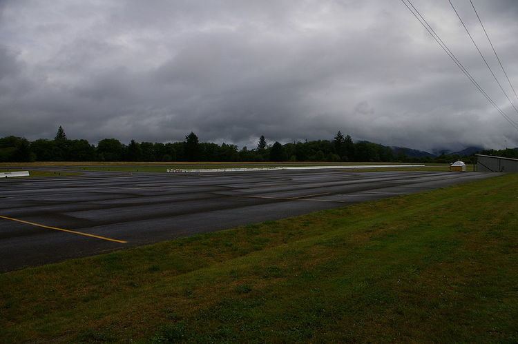
Forks Airport covers an area of 72 acres (29 ha) at an elevation of 299 feet (91 m) above mean sea level. It has one runway designated 4/22 with an asphalt surface measuring 2,400 by 75 feet (732 x 23 m). It is equipped with medium intensity runway lighting. Approaches to both ends of this runway are visual.
For the 12-month period ending December 31, 2008, the airport had 13,600 aircraft operations, an average of 37 per day: 99.6% general aviation and 0.4% military. At that time there were 10 aircraft based at this airport: 50% single-engine, 30% helicopter and 20% ultralight.