
Country United States GNIS feature ID 508021 Local time Tuesday 7:28 AM | Time zone Eastern (EST) (UTC-5) Elevation 272 m | |
 | ||
Weather -1°C, Wind NW at 16 km/h, 91% Humidity | ||
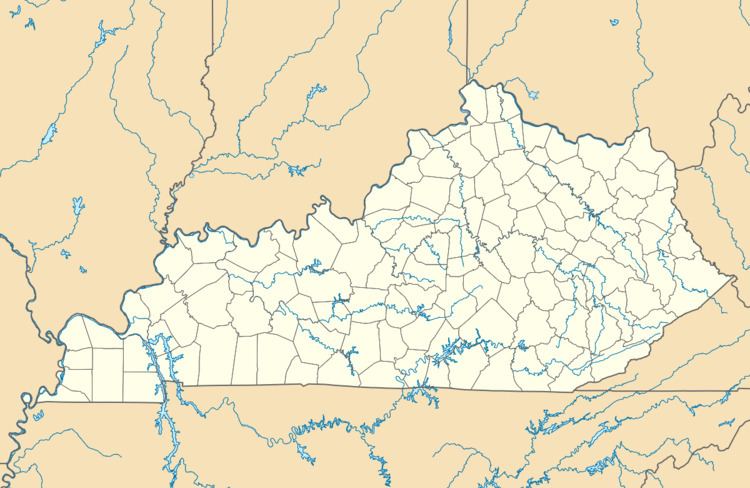
Foraker is an unincorporated community in Magoffin County, Kentucky, United States. It lies along Route 30 south of the city of Salyersville, the county seat of Magoffin County. Its elevation is 892 feet (272 m).
Map of Foraker, KY 41339, USA
References
Foraker, Kentucky Wikipedia(Text) CC BY-SA