
Airport type Public Elevation AMSL 808 ft / 246 m 5,941 1,811 Code FLD | 18/36 5,941 1,811 Asphalt Phone +1 920-922-6000 | |
 | ||
Address 260 S Rolling Meadows Dr, Fond du Lac, WI 54937, USA | ||
Small plane crashes at fond du lac county airport
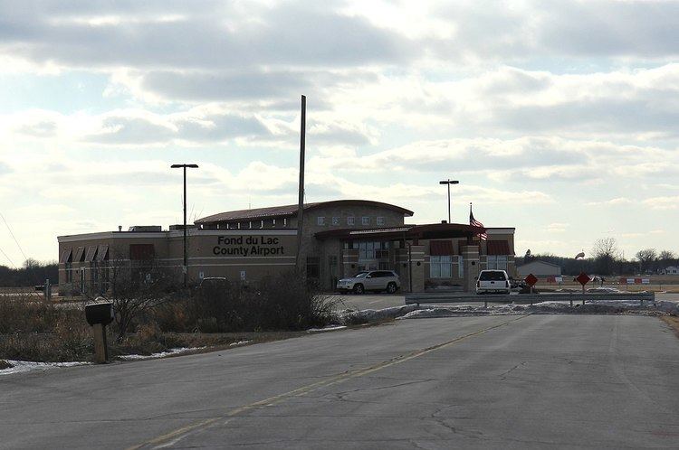
Fond du Lac County Airport, (IATA: FLD, ICAO: KFLD, FAA LID: FLD) is a county owned public use airport located 1 mile (2 km) west of the central business district of Fond du Lac, Wisconsin, a city in Fond du Lac County, Wisconsin, United States. It is included in the Federal Aviation Administration (FAA) National Plan of Integrated Airport Systems for 2017–2021, in which it is categorized as a regional general aviation facility. The airport is home to EAA chapter 572.
Contents
Fond du lac county airport 1 2
Facilities and aircraft
Fond du Lac County Airport covers an area of 586 acres (237 ha) at an elevation of 808 feet (246 m) above mean sea level. It has two runways: 18/36 is 5,941 by 100 feet (1,811 x 30 m) with an asphalt surface and 9/27 is 3,602 by 75 feet (1,098 x 23 m) with an asphalt surface. The Airport has one FBO, the Fond du Lac Skyport.
For the 12-month period ending July 23, 2014, the airport had 63,200 aircraft operations: 5% air taxi, 95% general aviation and <1% military. In March 2017, there were 62 aircraft based at this airport: 55 single-engine, 6 multi-engine and 1 jet aircraft.
EAA AirVenture
The airport, along with Appleton International Airport in Appleton, is an alternative to flying into Wittman Regional Airport during EAA AirVenture Oshkosh. Every year the FAA sets up and operates a temporary air traffic control tower during the event.
Shuttle buses run between the AirVenture grounds and the airport frequently.