
Time zone EST (UTC-5) GNIS feature ID 1231287 | FIPS code 45-26035 Elevation 4.9 m | |
 | ||
Area 48.3 km² (31.8 km² Land / 16.5 km² Water) Similar Morris Island, Folly Beach Pier - SC, Morris Island Light, Fort Wagner, Folly Beach County P | ||
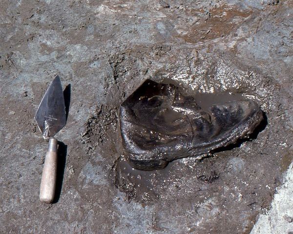
Beach metal detecting for christmas folly island in the south carolina sun
Folly Island is a barrier island in the Atlantic Ocean near Charleston, South Carolina. It is one of the Sea Islands and is within the boundaries of Charleston County, South Carolina. During the American Civil War, the 7-square-mile (18 km2) island served as a major staging area for troops of the Union Army that were attacking Confederate forces in the Charleston region. The largest settlement on Folly Island is Folly Beach.
Contents
- Beach metal detecting for christmas folly island in the south carolina sun
- Map of Folly Island Folly Beach SC 29439 USA
- History
- References
Map of Folly Island, Folly Beach, SC 29439, USA
History
The name Folly comes from an Old English term meaning "dense foliage." When Europeans first landed on the island in the early 1600s, they discovered a Native American tribe called the Bohickets. It is unclear what happened to them after the land was deeded to William Rivers in 1696. Pirates were known to sail along the South Carolina coast and the many inlets, sounds, bays formed by barrier islands and sea islands like Folly Island. Two of the most memorable were Edward Teach, known as Black Beard, and Stede Bonnet.
For a time, Folly Island was known as Coffin Island not because of deaths or burials, but because of its ownership by the Coffin family, plantation owners of Beaufort and Charleston counties.
The only Civil War-related fighting to occur on the island was on May 10, 1863, when Confederate forces attacked Union forces. Since the Confederates were on a fact-finding mission, the fighting was on a very small scale. Folly was occupied by the Union Army in August 1863 and served as a supply depot and camp for the troops besieging the city of Charleston.
Folly Island remained under Union control for the rest of the war. It was used as the staging area for the Battles of Fort Wagner, which were fought between July and September 1863. Morris Island was the location of Fort Wagner; the Second Battle of Fort Wagner was depicted in the 1989 film Glory.
In the summer of 1934, composer George Gershwin and author DuBose Heyward, went to Folly Island to work on their American folk opera, Porgy and Bess.
Folly Beach is occasionally impacted by hurricanes moving up the Atlantic Coast in the form of wind, rain, and heavy surf which cause beach erosion. Hurricane Irene in 2011 caused severe erosion and forced the closure of the Folly Beach County Park, a popular public beach access point.