
Country United States Founded by Brigham Tomkinson Elevation 1,435 m | Settled July 1915 Named for Flowing artesian wells Local time Monday 10:22 AM | |
 | ||
Weather 9°C, Wind S at 2 km/h, 47% Humidity | ||
Flowell is an unincorporated community in Millard County, Utah, United States.
Contents
Map of Flowell, UT 84631, USA
Geography
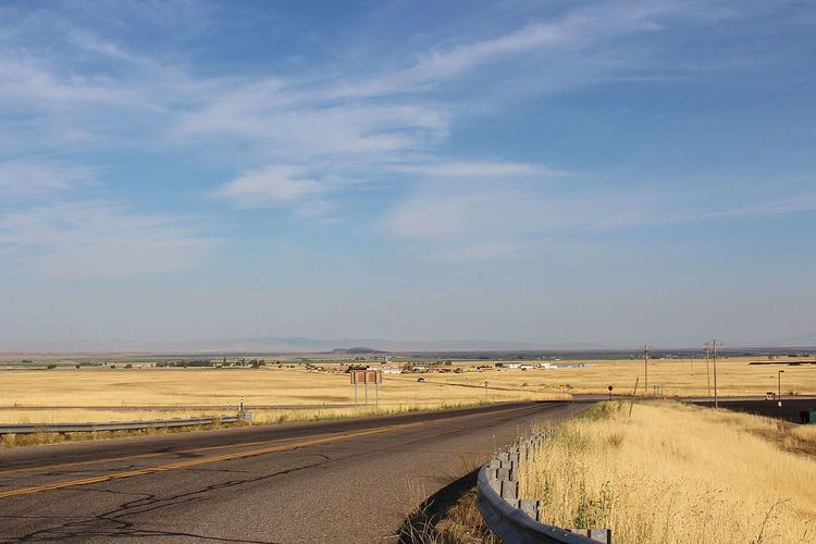
Flowell is a small farming village in the Pavant Valley, about 6 miles (9.7 km) west of Fillmore, the county seat. The town of Meadow is about 8 miles (13 km) to the south, across I-15. Utah State Route 100 connects Flowell with Fillmore to the east, and with U.S. Route 50 to the north. Just west of Flowell is the Ice Springs lava flow, part of the Black Rock Desert volcanic field, and a location that had an eruption less than 1,000 years ago.
History
In July 1915, Brigham Tomkinson drilled the first successful artesian well west of Fillmore, turning worthless desert into rich farmland and setting off a wave of well drilling in eastern Millard County. Charle Christensen was the first person to build a home and live in Flowell. Others came shortly after. The center of this activity was first named Crystal, then Flowell after the freely-flowing wells. A school was built in 1919, and a post office in 1922. In the 1930s, Flowell built a community recreation hall with federal assistance from the Works Progress Administration.