
Time zone BRT (UTC-3) Local time Monday 9:10 AM | Area 1,011 km² | |
 | ||
Weather 26°C, Wind E at 10 km/h, 75% Humidity | ||
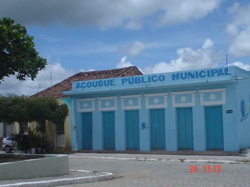
Flores (Portuguese for "Flowers") is a municipality (município) in the state of Pernambuco in Brazil. The population is 22,588 (2015 est.) in an area of 996 km².
Contents
Map of Flores - State of Pernambuco, Brazil
Geography
Economy
The main economic activities in Flores are based in agribusiness, especially creation of cattle and their milk, goats, sheeps and plantations with beans, corn and guava (goiaba).
Economic Indicators
Economy by Sector
References
Flores, Pernambuco Wikipedia(Text) CC BY-SA