
Area 1,244 km² | ||
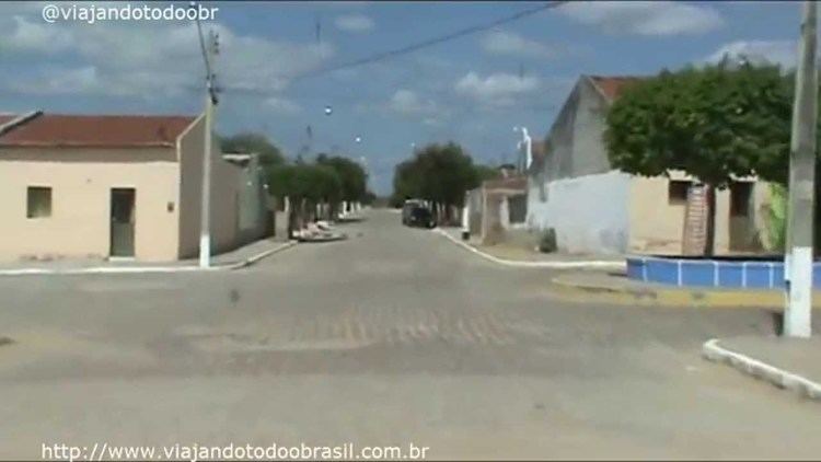 | ||
Betânia (Bethany) is a city in the state of Pernambuco, Brazil. The population in 2009, according with IBGE was 12.011 and the area is 1244.07 km².
Contents
Map of Bet%C3%A2nia - State of Pernambuco, Brazil
The municipality contains the 1,485 hectares (3,670 acres) Maurício Dantas Private Natural Heritage Ecological Reserve, created in 1997. The municipality was designated a priority area for conservation and sustainable use when the Caatinga Ecological Corridor was created in 2006.
Geography
Economy
The main economic activities in Betânia are based in agribusiness, especially creation of goats, cattle, sheeps; and plantations of corn, tomatoes and beans.
Economic Indicators
Economy by Sector 2006
References
Betânia, Pernambuco Wikipedia(Text) CC BY-SA