
Area codes 071 Area 59.28 km² Local time Monday 7:35 AM Governing party Parti Socialiste | Postal codes 6220-6224 Website www.fleurus.be Province Hainaut Area code 071 | |
 | ||
Weather 3°C, Wind SW at 10 km/h, 98% Humidity Arrondissement Arrondissement of Charleroi | ||
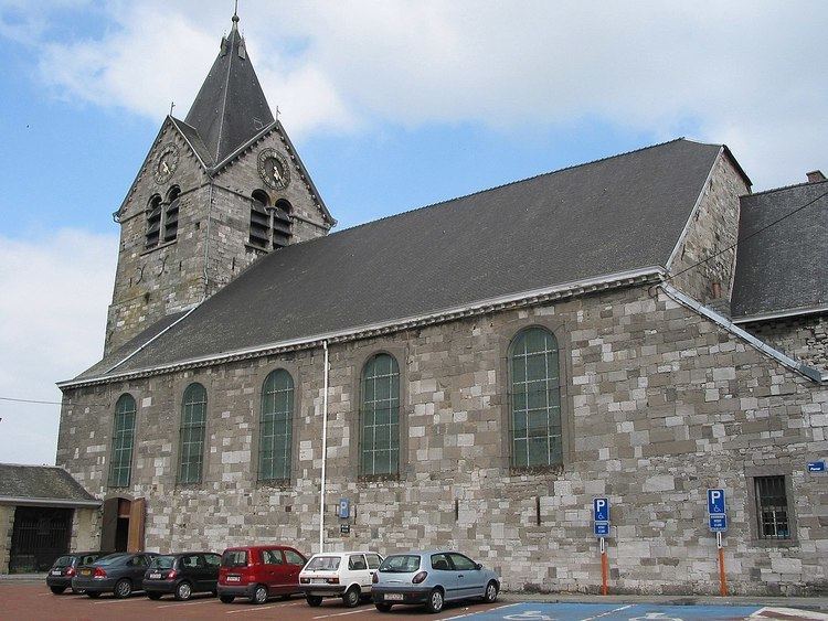
Fleurus ([flœ.ʁys]) is a Walloon municipality located in the Belgian province of Hainaut. It has been the site of four major battles.
Contents
Map of Fleurus, Belgium
Villages
Fleurus has seven villages:
History
Traces of agriculture dating back to the Neolithic Age were found in area known as Fleurjoux and Neuve Baraque. During the Roman times, construction of roads like the (chaussée Brunehaut between Bavay and Cologne).
In October 1155, Henry IV of Luxembourg, also Count of Namur enfranchised the municipality which became the city of Fleurus. Henry IV had a castle in Heppignies.
The town has given its name to three battles fought in the area :
Two days before the Battle of Waterloo in 1815 Napoleon I defeated the Prussians in what is known as the Battle of Ligny, although the pivotal action took place just north of Fleurus.
The battles have been commemorated in ship names of the countries involved, which in turn has led to Fleurus Island in Antarctica being named after SS Fleurus, a Norwegian trawler operated between the Falkland Islands and the whaling station on South Georgia in the 1920s. The "Rue de Fleurus" is on the Left Bank in Paris.
In World War II, the only fighting near Fleurus was a tank battle southwest of the town at Vieux Campinaire in September 1944.
0.1 km2 (24.71 acres) was added to the municipality's area in the early 2000s.
Economy
Children's publisher Proost is a major local employer. The Institut national des radioéléments produces radioactive isotopes for medical use.