
OS grid reference SP7716 Sovereign state United Kingdom Local time Monday 4:46 AM Dialling code 01296 | Civil parish Fleet Marston Population 47 (2010) | |
 | ||
Weather 4°C, Wind NW at 8 km/h, 96% Humidity | ||
Fleet Marston is a civil parish and deserted medieval village in the Aylesbury Vale district of Buckinghamshire, England. It is to the west of Aylesbury. At the 2011 Census the population was included in the civil parish of Waddesdon. The main A41 between Aylesbury and Waddesdon runs through the middle of the parish.
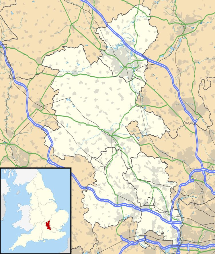
Map of Fleet Marston, UK
The toponym "Marston" is derived from the Old English for "marsh farm". The prefix "Fleet" refers to a stream in the parish, and was added to distinguish the village from nearby North Marston. The Domesday Book of 1086 records the village as Mersetone. In the 13th century the village name was recorded as Flettemerstone.
There is evidence that there has been a church in Fleet Marston since at least 1223, although the main building appears to be of 14th century design. Existing church records date back to 1630. Some buildings in the village, including Fleet Marston Farm, date from the 17th century. Shortly after his ordination as deacon in 1725 John Wesley is known to have preached his first sermon at Fleet Marston. The manor referred to in the below entry stood near the church, and was demolished in 1772. In 1806 Magna Britannia described Fleet Marston as follows:
FLEET-MARSTON, in the hundred of Ashendon and deanery of Waddesdon, lies about three miles from Aylesbury, on the road to Bicester. The manor, which was for many years in the Lees, has been lately purchased of their representative, Lord Dillon, by James Dupré esq. of Wilton Park. The advowson of the rectory being then the property of John Tirrel-Morin esq. was advertised for sale in the month of May 1805.
By 1851 the parish was already in decline. The religious census of 1851 recorded that the population of the village was 30, with just 8 attending church on Sunday 30 March. By 1871 the population had reduced to 23, living in 5 houses.
Little remains of the village today. To the south of the parish is the farm at Putlowes and Putlowes Cottages just to the south west of the A41. In the centre of the parish, just to the north east of the A41 are some smaller farms and the redundant St. Mary's parish church. To the north of the parish are Fleet Marston Farm (incorporating the farm shop), Fleet Marston Cottages and Lower Fleetmarston Farm. The latter can only be accessed via the Berryfields Road in Quarrendon parish (another deserted village). In all the parish has an area of 934 acres (378 ha).
The main line railway, the Great Central and Metropolitan Joint line ran through the parish though this has long since been downgraded to a single, freight only line. However Chiltern Railways recently extended the line running from London Marylebone to Aylesbury. The line now runs to a new station, Aylesbury Vale Parkway, which is near Fleet Marston.