
 | ||
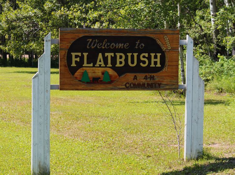
Flatbush is a hamlet in northern Alberta, Canada within the Municipal District of Lesser Slave River No. 124. It is located 3 kilometres (1.9 mi) south of Highway 44, approximately 135 kilometres (84 mi) northwest of Edmonton.
Contents
Map of Flatbush, AB, Canada
Demographics
As a designated place in the 2016 Census of Population conducted by Statistics Canada, Flatbush recorded a population of 45 living in 19 of its 22 total private dwellings, a change of 7001500000000000000♠50% from its 2011 population of 30. With a land area of 0.69 km2 (0.27 sq mi), it had a population density of 65.2/km2 (168.9/sq mi) in 2016.
As a designated place in the 2011 Census, Flatbush had a population of 30 living in 17 of its 18 total dwellings, a 0% change from its 2006 population of 30. With a land area of 0.64 km2 (0.25 sq mi), it had a population density of 47/km2 (121/sq mi) in 2011.