
Time zone IST (UTC+5:30) Lok Sabha constituency 1 Area 5,305 km² Population 2.029 million (2011) | No. of villages 639 Vidhan Sabha constituency 4 Literacy 69.8% Named for Firuz Shah Tughlaq | |
 | ||
University Shaheed Bhagat Singh State Technical Campus | ||
Firozpur district (Punjabi: ਫ਼ਿਰੋਜ਼ਪੁਰ ਜ਼ਿਲ੍ਹਾ) is one of the twenty-two districts in the state of Punjab located in the North-West of the Republic of India. Firozpur district comprises an area of 5,305 km2 (2,048 sq miles). Prior to split of Firozpur district with the addition of Fazilka district, it comprised an area of 11,142 km2.
Contents
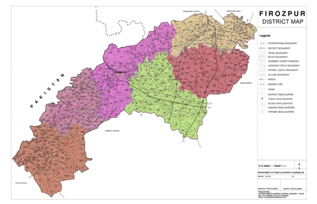
Map of Ferozepur, Punjab
Firozpur is the capital city of the district. It is situated inside ten gates—Amritsari Gate, Wansi Gate, Makhu Gate, Zira Gate, Bagdadi Gate, Mori Gate, Delhi Gate, Magjani Gate, Multani Gate and Kasuri Gate.
Demographics
According to the 2011 census the undivided Firozpur district had a population of 2,026,831. This gives it a ranking of 230th in India (out of a total of 640). The district has a population density of 380 inhabitants per square kilometre (980/sq mi). Its population growth rate over the decade 2001–2011 was 16.08%. Firozpur has a sex ratio of 893 females for every 1000 males, and a literacy rate of 69.8%. (This data is before the creation of Fazilka district)
Administration
The district is administratively into the following tehsils:
List of Sub-Tehsils of Firozpur
Blocks of district Firozpur
Vidhan Sabha Seats in Firozpur