
Country France Population (2008) 1,157 Area 100.2 km² Number of airports 1 | Canton Figari Time zone CET (UTC+1) Local time Saturday 1:37 PM | |
 | ||
Weather 17°C, Wind NE at 19 km/h, 26% Humidity | ||
Places to see in figari france
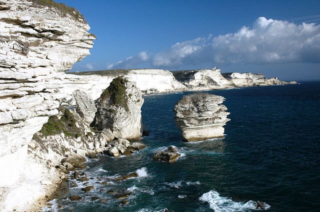
Figari is a commune in the Corse-du-Sud department of France on the island of Corsica.
Contents
Map of Figari, France
Geography
The village of Figari is 43 kilometers (27 mi) to the southeast of Sartène, 20 km (12 mi) to the southwest of Porto-Vecchio and 19 km (12 mi) to the north of Bonifacio. The commune comes from an ancient parish. It includes the center of a large plain where the airport was built in 1975. To the north looms Mount Cagna, which exceeds 1,100 meters (3,600 ft).
To the southeast hills climb to 320 m (1,050 ft) over the village and enclose a reservoir created by damming the Ruisseau de Ventilegne for purposes of water supply and irrigation; additional water can be taken from the Orgone, a small brook which descends from the mountain of Cagna et forms the upper stream of the Stabbiacciu in Porto-Vecchio. To the southwest the commune occupies the east bank of the Bay of Figari, and Ventilegne Point, but not the resort.
Economy
Viticulture has been practiced in Figari since the Roman era. There are 153 hectares (380 acres) of vineyards on which Syrah, Grenache, and Vermentino are grown. The wine produced falls under the Vin de Corse-Figari AOC.
Transportation
The airport, Figari Sud-Corse Airport, is the third largest of Corsica. It opened in 1975 with a runway of 2,500 meters (8,200 ft). In 2004 it carried 254,000 passengers, 117,000 between the airport and Paris, 63,000 to or from Marseille, 34,000 to or from Nice, and 37,000 in charters.