
Population 285 (2011) Civil parish Field Dalling Area 12.87 km² | OS grid reference TG007390 Sovereign state United Kingdom Local time Saturday 9:25 AM | |
 | ||
Weather 10°C, Wind S at 16 km/h, 93% Humidity | ||
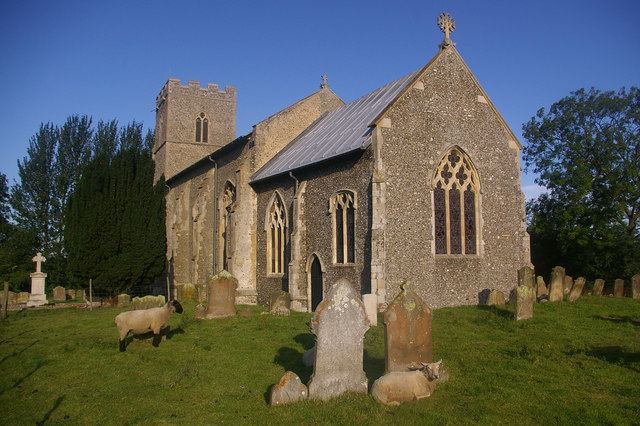
Field Dalling is a village and civil parish in the English county of Norfolk, situated about 4 miles (6.4 km) west of Holt and about 3 miles (4.8 km) miles from the coast. The parish also includes the village of Saxlingham, which is 1 mile (1.6 km) east of the village of Field Dalling. The parish covers a total area of 12.87 km2 (4.97 sq mi) and had a population of 273 in 110 households at the 2001 census, the population increasing to 285 at the 2011 Census. For the purposes of local government, it falls within the district of North Norfolk.
Map of Field Dalling, UK
The village has experienced a slow decline over the years; the primary school closed in 1977, the last pub in the village closed in 1986, and the post office and shop had closed down by the end of the 1990s. Apart from the church, the playground/recreation area and the village hall are the only amenities left in Field Dalling today. However, on occasions the village hall has hosted 'pub nights'. In the past there were amenities such as a bigger playing field, a football team, and a reading room.
Currently new houses for rent are being built just off the Holt Road as part of a Victory Housing Trust scheme.