
Country United States Time zone CST (UTC-6) Area code 612 | City Minneapolis Area 90 ha Population 2,366 (2010) | |
 | ||
ZIP code 55407, 55409, 55417, 55419 Restaurants Turtle Bread Company, Town Hall Tap, Sum Dem Korean BBQ, Pizza Biga, Cafe Levain | ||
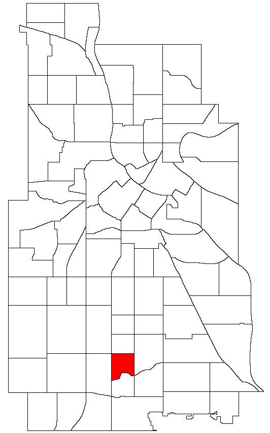
Field is a neighborhood in the Nokomis community in south Minneapolis. It is bordered by 46th Street East on the north, Chicago Avenue on the east, Minnehaha Parkway on the south, and Interstate 35W on the west. Field shares a neighborhood organization with the Regina and Northrop neighborhoods.
Map of Field, Minneapolis, MN, USA
The neighborhood takes its name from a local school, which in turn was named for Eugene Field, a writer of children's poetry.
This largely residential neighborhood, is characterized by small, two-bedroom pre-1940s stucco, brick, and stone houses. Chicago Avenue is the main commercial thoroughfare.
References
Field, Minneapolis Wikipedia(Text) CC BY-SA