
Trail difficulty Easy Surface Gravel | Hazards Busy on weekends Length 2,400 m | |
 | ||
Hills Steady incline from west to east Water Dinking fountains in the middle and east end | ||
The Ferndale Park Trail is a shared use path for cyclists and pedestrians in the suburb of Glen Iris, an inner eastern suburb of Melbourne, Victoria.
Contents
Map of Ferndale Trail, Glen Iris VIC 3146, Australia
It's useful as it provides a shortcut between Gardiners Creek Trail and Anniversary Trail. These two paths converge 2.5 km further to the south, so it can cut 2.6km off a circuit utilising the Gardiners Creek Trail and the Anniversary Trail.
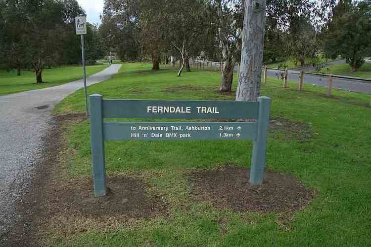
Following the Path
The path effectively follows the route of the old Ashburton Creek, which is now completely barrel drained. The path meets Gardiners Creek Trail at Nettleton Park Reserve near a footbridge over the creek. Following the path is straight forward except at the west side of Glen Iris Rd where it splits in two. Take the south path, cross Glen Iris Rd and continue on the south side of Ferndale Park by the oval and toilet block. Continuing to the east, the trail meets the Alamein railway line 0.4km north of Ashburton Station. The Anniversary Trail runs north south, parallel to the railway line.
Connections
Connects to the Gardiners Creek Trail in the west and the Anniversary Trail in the east.
West end at 37.855172°S 145.059956°E / -37.855172; 145.059956. East end at 37.858616°S 145.082575°E / -37.858616; 145.082575.