
Country Russian Federation Elevation 485 m | Area 372 km² | |
 | ||
Federal subject | ||
Feklistova or Feklistov Island (Остров Феклистова; Ostrov Feklistova) is one of the Shantar Islands in Sea of Okhotsk. With an area of 372 km², it is the second largest in the archipelago.
Contents
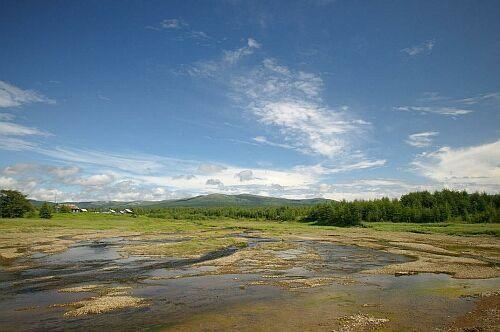
Map of Feklistova Island, Khabarovskiy Kray, Russia, 682564
Geography
Feklistova is 24 km (15 mi) west to east and 19.3 km (12 mi) north to south. It lies about 20 km (12.4 mi) to the west of Bolshoy Shantar Island, the main island in the group. Feklistov Island is covered with taiga forest and has a 3 km (1.8 mi) long lake on its northern shore separated from the sea by a spit of land.
Administratively this island belongs to the Khabarovsk Krai of the Russian Federation.
This island is part of the "Kondyor-Feklistov metallogenic belt" (KD) owing to the presence of placers which include minerals like "blacksand platinum". The "Kondyor-Feklistov metallogenic belt" is one of the major metallogenic belts of Northeast Asia. It is assumed that it formed by an oblique subduction of the oceanic crust of the Mongol-Okhotsk paleoocean under the southern margin of the Siberian continent.
History
Between 1852 and 1874, American whaleships hunted bowhead whales off Feklistova Island. They also anchored in Lebyazhya Bay on the south side of the island to stow down or boil oil, flense whales, and obtain wood and water or shelter from storms. They referred to the anchorage itself as Feklistova Harbor. The ship Lexington, of Nantucket, reported sixteen other whaleships anchored in Feklistova Harbor, of which five were boiling oil; seven more were seen coming in.