
Elevation 343 m Local time Thursday 9:26 PM | GNIS feature ID 0467826 Area 59.98 km² Population 185 (2000) | |
 | ||
Weather 3°C, Wind N at 21 km/h, 55% Humidity | ||
Fayette Township is a township in Decatur County, Iowa, USA. As of the 2000 census, its population was 185.
Contents
- Map of Fayette IA USA
- Geography
- Adjacent townships
- Cemeteries
- Major highways
- Airports and landing strips
- References
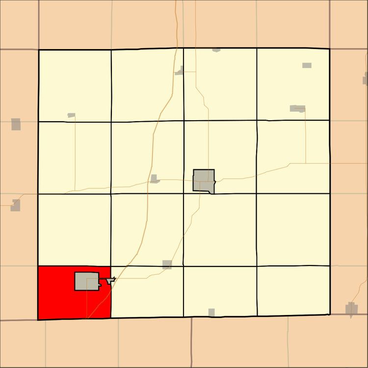
Map of Fayette, IA, USA
Geography
Fayette Township covers an area of 23.16 square miles (59.99 square kilometers); of this, 0.21 square miles (0.53 square kilometers) or 0.88 percent is water. The stream of Sevenmile Creek runs through this township.
Adjacent townships
Cemeteries
The township contains two cemeteries: Hollen and Sweet Home.
Major highways
Airports and landing strips
References
Fayette Township, Decatur County, Iowa Wikipedia(Text) CC BY-SA