
Elevation 328 m Local time Sunday 2:01 AM | GNIS feature ID 0467466 Area 92.41 km² Population 195 (2000) | |
 | ||
Weather 12°C, Wind S at 16 km/h, 48% Humidity | ||
Bloomington Township is a township in Decatur County, Iowa, USA. As of the 2000 census, its population was 195.
Contents
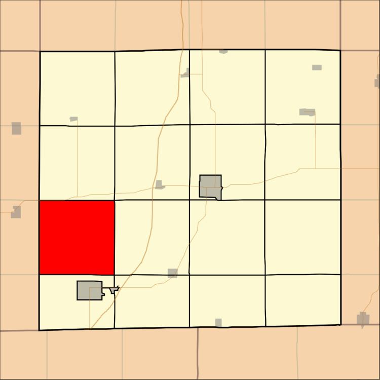
Map of Bloomington, IA, USA
History
Bloomington Township was named after Bloomington, Illinois, the former home of an early settler.
Geography
Bloomington Township covers an area of 35.68 square miles (92.42 square kilometers); of this, 0.08 square miles (0.19 square kilometers) or 0.21 percent is water. The stream of Pot Hole Creek runs through this township.
Unincorporated towns
(This list is based on USGS data and may include former settlements.)
Adjacent townships
Cemeteries
The township contains two cemeteries: Elk and Lillie.
References
Bloomington Township, Decatur County, Iowa Wikipedia(Text) CC BY-SA