
Canton Saulzais-le-Potier Area 18.51 km² Population 136 (1999) | Time zone CET (UTC+1) Local time Friday 3:24 AM | |
 | ||
Weather 10°C, Wind SW at 3 km/h, 81% Humidity | ||
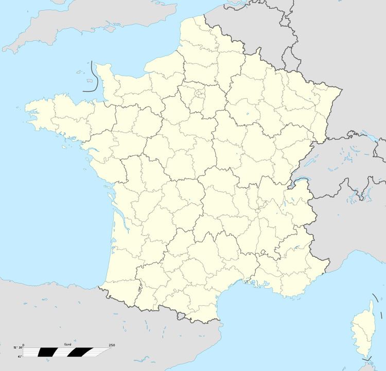
Faverdines is a commune in the Cher department in the Centre region of France.
Contents
Map of 18360 Faverdines, France
Geography
An area of forestry and farming, comprising the village and several hamlets situated by the banks of the small river Loubière, some 26 miles (42 km) south of Bourges at the junction of the D140 and the D1 roads. The A71 autoroute runs through the eastern part of the commune’s territory.
Sights
References
Faverdines Wikipedia(Text) CC BY-SA