
Length 7.091 km | Constructed 2 May 1962 | |
 | ||
Existed: May 2, 1962 (1962-05-02) – present South end: Alt. US 90 northwest of Lissie North end: FM 1093 in Chesterville Counties Colorado County, Texas, Wharton County, Texas | ||
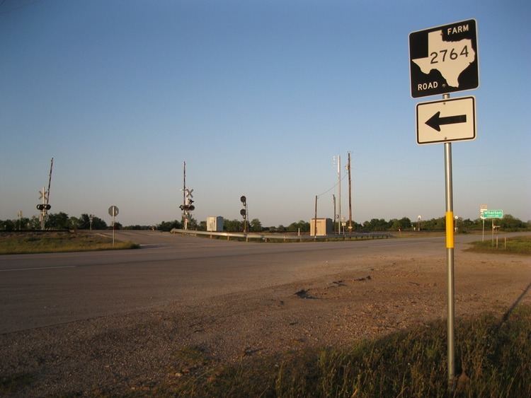
Farm to Market Road 2764 (FM 2764) is a state highway in the U.S. state of Texas. The two-lane highway begins at U.S. Route 90 Alternate (US 90A) northwest of Lissie, heads northeast along the boundary line between Colorado and Wharton Counties and ends at FM 1093 in Chesterville.
Contents
Map of Farm to Market Rd 2764, East Bernard, TX 77435, USA
Route description
A two-lane road along its full course, FM 2764 starts at a stop sign on US 90A at a distance 1.8 miles (2.9 km) northwest of Lissie. From this point, the highway crosses the Union Pacific Railroad and heads northeast along the Colorado-Wharton county line. In fact, the gravel road that goes southwest from the starting point is called County Line Road. FM 2764 runs 4.4 miles (7.1 km) through croplands until it crosses a disused railroad and ends at FM 1093. A short distance before its end, FM 2764 curves to the north into Colorado County and meets FM 1093 at a stop sign in the small community of Chesterville.
History
FM 2764 was originally designated on May 2, 1962, to start on US 90A about 5 miles (8.0 km) and run northeast along the Wharton-Colorado county line for approximately 4.5 miles (7.2 km) to FM 1093. The initial authorization is still in force.