
Area 8.3 km² | Population (2008) 214 Local time Thursday 4:01 PM | |
 | ||
Weather 14°C, Wind W at 14 km/h, 62% Humidity | ||
Farges-Allichamps is a commune in the Cher department in the Centre region of France.
Contents
Map of Farges-Allichamps, France
Geography
A farming village on the banks of the Cher River 21 miles (34 km) south of Bourges at the junction of the D142 and the D92 roads. The A71 autoroute runs through the centre of the commune’s territory. The village is one of six with a claim to be the geographic centre of France.
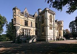
Sights
References
Farges-Allichamps Wikipedia(Text) CC BY-SA