Canton Freyming-Merlebach Local time Thursday 8:58 PM | Area 6.88 km² | |
 | ||
Intercommunality Communauté de communes de Freyming-Merlebach Weather 9°C, Wind W at 13 km/h, 84% Humidity | ||
Farébersviller (Lorraine Franconian: Fareewerschwiller/Ewerschwiller; German: Pfarrebersweiler) is a commune in the Moselle department in Grand Est in north-eastern France.
Contents
- Map of 57450 FarC3A9bersviller France
- Location
- Administration
- Religious Buildings
- Cultural structures
- Sports equipment
- Personalities associated with the municipality
- Twinnings
- References
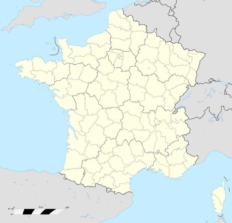
Map of 57450 Far%C3%A9bersviller, France
It is located only 3 km from the German border.
Location
Farébersviller lies at the heart of the coalfield between 3 major cities that are Forbach Sarreguemines and Saint-Avold.
The municipality consists of 2 very different entities that are the village, the original place to the south and the city, created from 1954 by the Houillères du Bassin de Lorraine (HBL) to accommodate a large number of miners working in the Valley the Rosselle nearby.
Administration
Since 1989 the mayor of the municipality is Laurent Kleinhentz.
Religious Buildings
Cultural structures
Sports equipment
Personalities associated with the municipality
Twinnings
References
Farébersviller Wikipedia(Text) CC BY-SA
