
Elevation 23 m Population 12,000 (2001) | Time zone EAT (UTC3) Local time Thursday 1:06 PM | |
 | ||
Weather 32°C, Wind NW at 23 km/h, 68% Humidity | ||
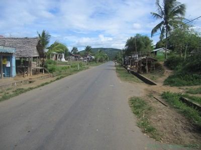
Fanambana is a town and commune (Malagasy: kaominina) in northern Madagascar. It belongs to the district of Vohemar, which is a part of Sava Region.
Contents
Map of Fanambana, Madagascar
Geography
The town is situated at the Fanambana River and the Route nationale 5a between Vohemar and Sambava.
The population of the commune was estimated to be approximately 12,000 in 2001 commune census.
Primary and junior level secondary education are available. The majority 84% of the population of the commune are farmers, while an additional 10% receives their livelihood from raising livestock. The most important crops are rice and vanilla, while other important agricultural products are coffee and beans. Services provide employment for 1% of the population. Additionally fishing employs 5% of the population.