
Country United States GNIS feature ID 0477270 Area 131.4 km² Population 1,163 (2000) | Elevation 395 m Local time Wednesday 11:47 PM | |
 | ||
Weather 7°C, Wind S at 8 km/h, 50% Humidity Points of interest Roniger Memorial Museum, Chase County Historical, Swope Park | ||
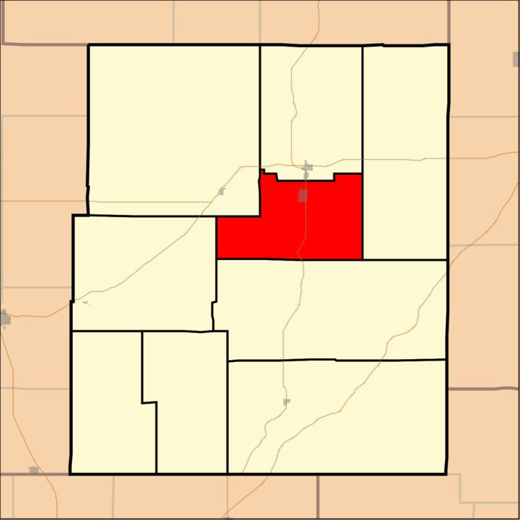
Falls Township is a township in Chase County, Kansas, United States. As of the 2000 census, its population was 1,163.
Contents
Map of Falls, KS, USA
Geography
Falls Township covers an area of 50.72 square miles (131.4 km2). The streams of Buck Creek, South Fork Cottonwood River, Spring Creek and Stout Run run through this township.
Communities
The township contains the following settlements:
Cemeteries
The township contains the following cemeteries:
Transportation
Falls Township contains one airport or landing strip, Chase County Airport.
References
Falls Township, Chase County, Kansas Wikipedia(Text) CC BY-SA