Local time Sunday 11:57 AM | Province Province of Viterbo | |
 | ||
Weather 13°C, Wind E at 5 km/h, 38% Humidity | ||
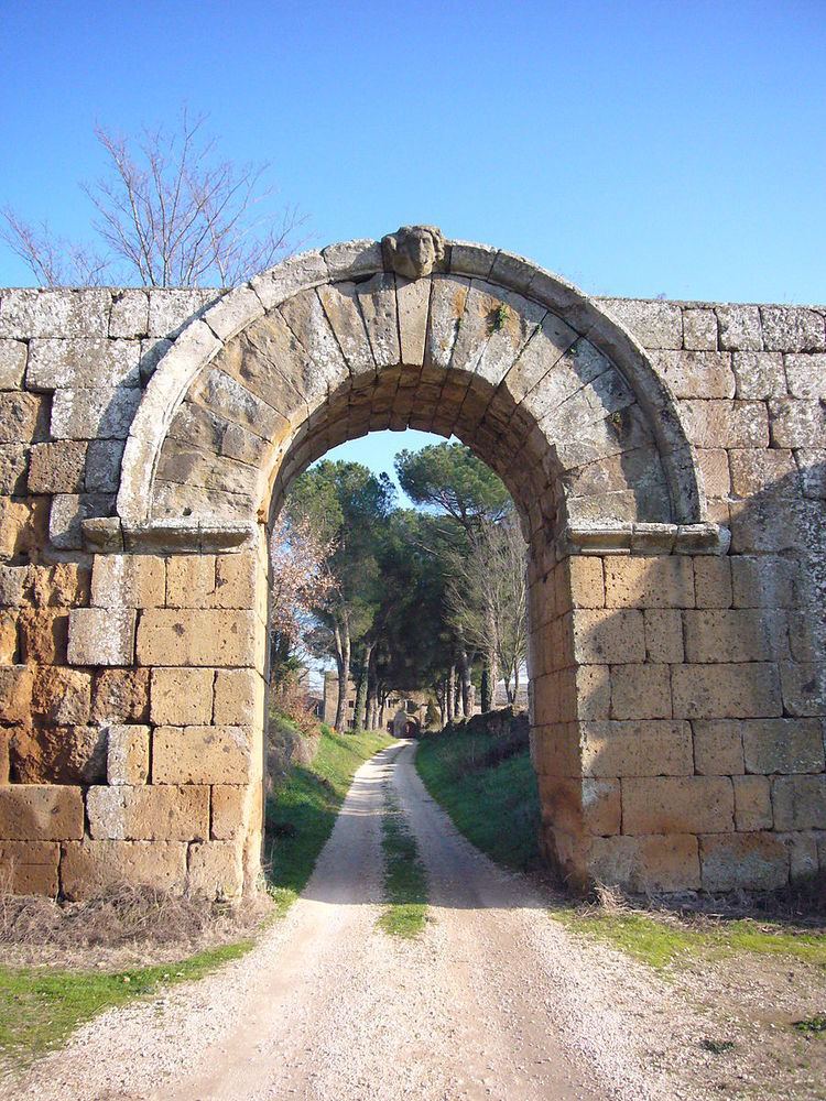
Falerii Novi was a walled town in the Tiber River valley, about 50 km north of Rome and 6 km west of Civita Castellana. It was created by the Romans, who resettled the inhabitants of Falerii Veteres in this much less defensible position after a revolt in 241 BC. The town is situated on a slight volcanic plateau.
Contents
Map of 01034 Falerii Novi, Province of Viterbo, Italy
Recently, the town has been surveyed as part of the Tiber Valley Project, showing the urbanisation of this area by the Romans. The plan produced by the British School at Rome using magnetometry reveals in great detail the subsurface archaeological features of the Republican city.
Notable locations
The church of S. Maria of Falerii is the most visible location left among the ruins.
References
Falerii Novi Wikipedia(Text) CC BY-SA
