
Country United States Area code(s) 620 Elevation 418 m Local time Sunday 1:26 AM | State Kansas Time zone CST (UTC-06:00) FIPS code 20-22350 Area 116.5 km² Population 50 (2010) | |
 | ||
Weather -1°C, Wind SE at 6 km/h, 91% Humidity | ||
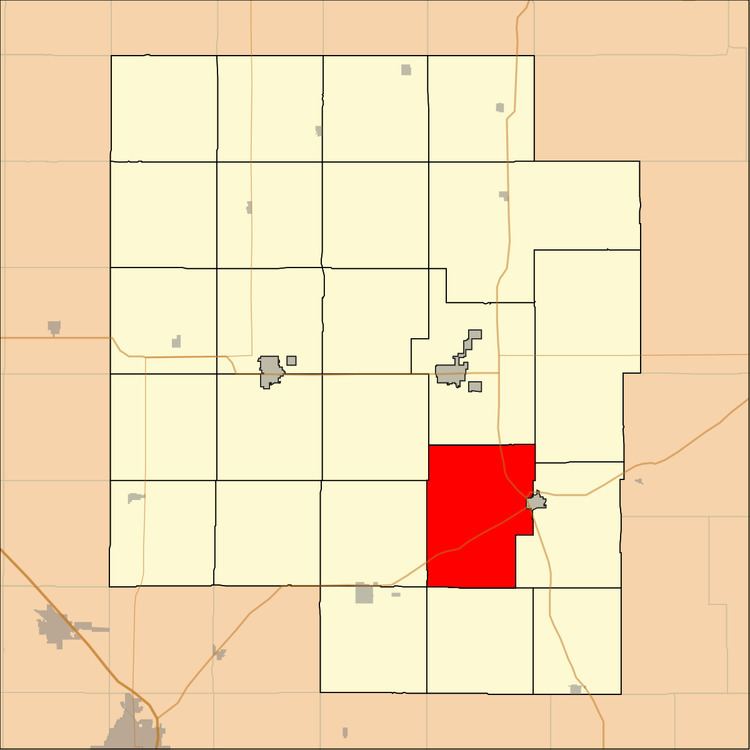
Fairplay Township is a township in Marion County, Kansas, United States. As of the 2010 census, the township population was 107, not including the city of Florence.
Contents
Map of Fairplay, KS, USA
Geography
Fairplay Township covers an area of 45 square miles (116.5 km2).
Cities and towns
The township contains the following settlements:
Cemeteries
The township contains the following cemeteries:
Transportation
U.S. Route 50 and U.S. Route 77 pass through the township.
References
Fairplay Township, Marion County, Kansas Wikipedia(Text) CC BY-SA