
Country United States FIPS code 20-18550 Elevation 420 m Local time Friday 11:41 PM Area code 620 | State Kansas Time zone CST (UTC-06:00) GNIS feature ID 477381 Area 91.9 km² Population 60 (2010) | |
 | ||
Weather 4°C, Wind E at 16 km/h, 44% Humidity | ||
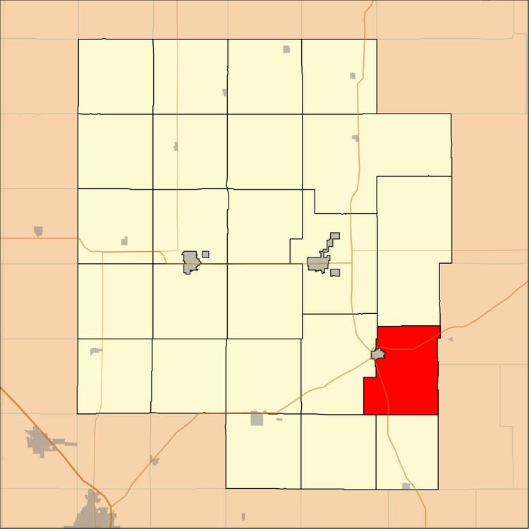
Doyle Township is a township in Marion County, Kansas, United States. As of the 2010 census, the township population was 60, not including the city of Florence.
Contents
Map of Doyle, KS, USA
Geography
Doyle Township covers an area of 35.5 square miles (91.9 km2).
Cities and towns
The township contains the following settlements:
Cemeteries
The township contains the following cemeteries:
Transportation
U.S. Route 50 and U.S. Route 77 pass through the township.
References
Doyle Township, Marion County, Kansas Wikipedia(Text) CC BY-SA