
Elevation 958 m (3,143 ft) Time zone CET (UTC+1) Area 12.1 km² Local time Sunday 5:18 AM Dialling code 0461 | Demonym(s) Faioti Dialing code 0461 Postal code 38010 | |
 | ||
Weather -2°C, Wind N at 10 km/h, 49% Humidity Region Trentino-Alto Adige/South Tyrol | ||
Sci andalo e fai della paganella
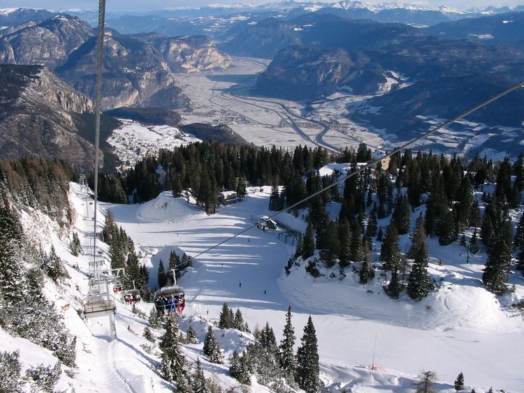
Fai della Paganella (German: Oberpfeidt or Welsch-Faid) is a comune (municipality) in Trentino in the northern Italian region Trentino-Alto Adige/Südtirol, located about 14 kilometres (9 mi) northwest of Trento. In its territory is located the Paganella mountain and ski resort.
Contents
- Sci andalo e fai della paganella
- Map of 38010 Fai della Paganella Province of Trento Italy
- Peter pan trail fai della paganella
- References
Map of 38010 Fai della Paganella Province of Trento, Italy
Fai della Paganella borders the following municipalities: Spormaggiore, Mezzolombardo, Cavedago, Zambana, Andalo and Terlago.
Peter pan trail fai della paganella
References
Fai della Paganella Wikipedia(Text) CC BY-SA