
Demonym(s) Andalesi Postal code 38010 Area 9.81 km² Local time Thursday 5:50 AM | Time zone CET (UTC+1) Elevation 1,040 m | |
 | ||
Region Trentino-Alto Adige/Südtirol Weather 4°C, Wind SW at 18 km/h, 71% Humidity | ||
Andalo (German: Andel) is a comune (municipality) in Trentino in north Italy, with some 1,050 inhabitants in 2010. Despite its size, it is the seat of the newly created Comunità di Valle dell'Altopiano della Paganella.
Contents
Map of 38010 Andalo Province of Trento, Italy
Geography
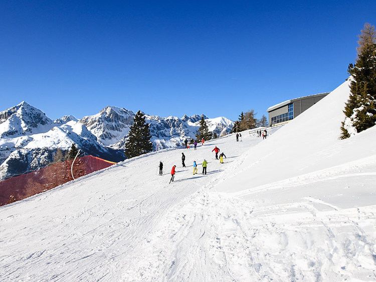
The town lies on the Paganella plateau, between the mountains Piz Galin, elevation 2,442 metres (8,012 ft), and Paganella, 2,125 metres (6,972 ft), and its territory is part of the Adamello-Brenta natural park.
History
The area was first settled during the Middle Ages, and used to be divided into 13 hamlets called “masi” (Bortolon, Cadin, Casanova, Clamer, Dos, Fovo, Ghezzi, Melchiori, Monech, Pegorar, Perli, Pont and Toscana), which eventually merged into a single town. This fragmentation can still be noticed, especially in the most isolated masi (for instance, maso Pegorar).
During the second part of the 20th century the village became one of the most famous touristic resorts in Trentino, mainly due to its skiing facilities.
Economy
The local economy, once reliant exclusively on agriculture, is now almost completely centered on tourism (both during the summer and the winter, as opposed to some of the surrounding towns), mainly due to the town's position within the Dolomites. As a result of tourism, Andalo is among the wealthiest towns in the province and in the country.