
Local time Sunday 1:27 AM | Population 5,953 (2002) | |
 | ||
Weather 11°C, Wind SW at 14 km/h, 72% Humidity | ||
Făcăeni is a commune in Ialomița County, Romania. Its population was 5,953 at the 2002 census. The commune is composed of two villages, Făcăeni and Progresu.
Contents
Map of F%C4%83c%C4%83eni, Romania
Geography
Făcăeni is located at 44°34′12″N 27°54′00″E (44.57 27.9), near the Borcea section of the Danube River and the National Road 3 b (DN 3 B). Its neighbours are Vlădeni to the north, Borduşani to the south, Movila to the west and Topalu to the east. It also has a ferryboat used by farmers and workers to get from the village to the Balta Ialomiței (the island situated between the Old Danube and Borcea section used exclusively for agriculture). It has a small beach where the locals come to play football and swim.
History
The village's existence has been documented for more than 500 years, but archaeological discoveries prove that the area has been inhabited since the Iron Age. Its name is supposed to come from either the Romanian "făcău", archaism for "mill", or the word "flăcău" meaning young man.
Economy
Făcăeni had and still has a mostly agrarian economy, even though fishing is still an important occupation. Many inhabitants now seek employment in larger cities or even in other countries.
The village has one school, General School grades I-X, one kindergarten, three Orthodox churches and two Adventist churches.
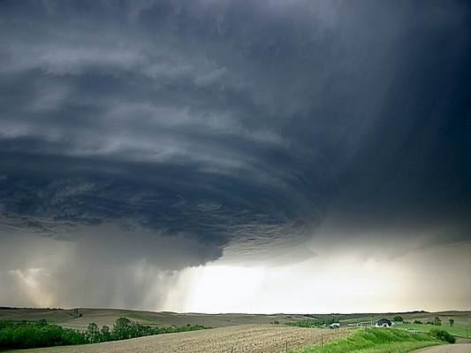
Făcăeni is known for having been hit by a tornado on 12 August 2002, a phenomenon highly unusual for this geographical area, which destroyed more than 30 households and part of the forest east of the village.