
Telephone code (+40) 243 or (+40) 343 Area 4,453 km² | Development region Sud Area rank 35th ISO 3166 code RO-IL | |
 | ||
Points of interest Muzeul Național al Agricult, Conacul Marghiloman din Hagie, Muzeul Județean de Istorie, Conacul Bolomey, Monumentul Eroilor Destinations | ||
Ialomița ([ˈjalomit͡sa]) is a county (județ) of Romania, in Muntenia, with the capital city at Slobozia.
Contents
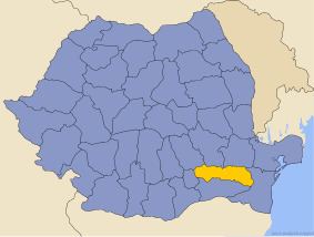
- Map of IalomiC89Ba County Romania
- Demographics
- Geography
- Neighbours
- Economy
- Tourism
- Politics
- Administrative divisions
- References
Map of Ialomi%C8%9Ba County, Romania
Demographics
In 2011, it had a population of 258,669 and the population density was 58.08/km².
Romanians make up 95.6% of the population, the largest minority being the Romani people (4.1%).
Geography
This county has a total area of 4,453 km².
The county is situated in the Bărăgan Plain, all the area is flat crossed by small rivers with small but deep valleys.
Its east border is on Danube and the Ialomița River crosses the county from West to East about the middle. The Danube is split around the Ialomița Pond - the Old Danube branch and the Borcea branch.
Until 1940 (in the West part) and 1967 (in the East part) the county/plain was home of the great bustard (dropie in Romanian), with large populations of this bird. The birds disappeared because of the massive village buildout and hunting them for food.
Neighbours
Economy
Agriculture is the main occupation in the county. Industry is almost entirely concentrated in the city of Slobozia.
The predominant industries in the county are:
Tourism
The main tourist destinations are:
Politics
The Ialomița County Council, elected at the 2016 local government elections, is made up of 31 counselors, with the following party composition:
Administrative divisions
Ialomița County has 3 municipalities, 4 towns and 59 communes.