
Basin size 1,100 km (420 sq mi) Basin area 1,100 km² Country Canada | Length 246 km Source Red Indian Lake Mouth elevation 0 | |
 | ||
Main source Red Indian Lake, Newfoundland River mouth Bay of Exploits, Newfoundland0 m (0 ft) | ||
Land sea salmon fishing on the exploits river full episode
The Exploits River is a Canadian river in the province of Newfoundland and Labrador. It flows through the Exploits Valley in the central part of Newfoundland.
Contents
- Land sea salmon fishing on the exploits river full episode
- Map of Exploits River Division No 6 Subd D NL Canada
- Exploits river aerial video of river
- TributariesEdit
- References
Map of Exploits River, Division No. 6, Subd. D, NL, Canada
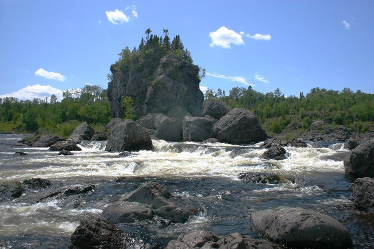
The 246 km river is the longest river on the island draining an area of 1,100 km² and is the second longest in the province after the Churchill River.
The river drains Red Indian Lake at its starting point and discharges into the Bay of Exploits near the port town of Botwood.
The Exploits River provides habitat for spawning Atlantic Salmon and other species of fish. The salmon population increased dramatically when fish ladders were installed, opening up sections of the river that had been previously inaccessible.
Exploits river aerial video of river
TributariesEdit
References
Exploits River Wikipedia(Text) CC BY-SA