
Area 4,446 km² | Website Official website Local time Wednesday 4:49 PM | |
 | ||
Weather 27°C, Wind NE at 10 km/h, 35% Humidity University Government Polytechnic Nagriya Mod Etah | ||
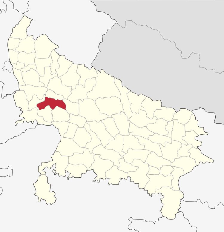
Etah district is one of the districts of Uttar Pradesh state of India, and Etah town is the district headquarters. Etah district is a part of Aligarh Division. The driving distance from New Delhi to Etah is 207 km.
Contents
Map of Etah, Uttar Pradesh
Economy
In 2006 the Ministry of Panchayati Raj named Etah one of the country's 250 most backward districts (out of a total of 640). It is one of the 34 districts in Uttar Pradesh currently receiving funds from the Backward Regions Grant Fund Programme (BRGF).
Demographics
According to the 2011 census Etah district has a population of 1,761,152, roughly equal to the nation of The Gambia or the US state of Nebraska. This gives it a ranking of 272nd in India (out of a total of 640). The district has a population density of 717 inhabitants per square kilometre (1,860/sq mi) . Its population growth rate over the decade 2001-2011 was 12.77%. Etah has a sex ratio of 863 females for every 1000 males, and a literacy rate of 73.27%.