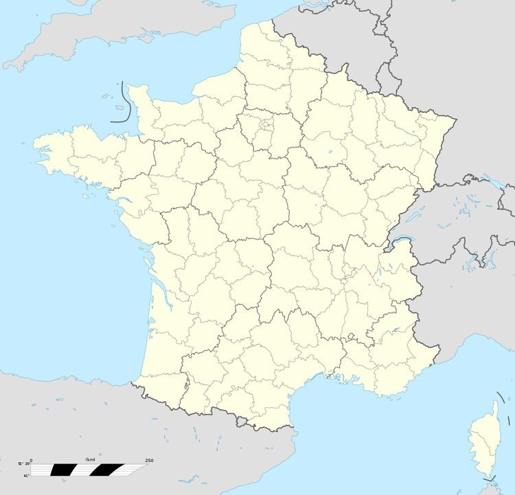
Population (2006) 380 Area 11.19 km² | Time zone CET (UTC+1) Local time Wednesday 10:55 AM | |
 | ||
Weather 10°C, Wind SW at 24 km/h, 98% Humidity | ||
Communes de la somme estr es l s cr cy
Estrées-lès-Crécy is a commune in the Somme department in Hauts-de-France in northern France.
Contents
- Communes de la somme estr es l s cr cy
- Map of 80150 EstrC3A9es lC3A8s CrC3A9cy France
- Geography
- Railway
- References
Map of 80150 Estr%C3%A9es-l%C3%A8s-Cr%C3%A9cy, France
Geography
The commune is situated on the D938 road, near the site of the Battle of Crecy, 16 kilometres (10 mi) north of Abbeville.
Railway
There was a railway station (Crécy-Estrées) on the branch of the Réseau des Bains de Mer which ran between Abbeville and Dompierre-sur-Authie. It opened on 19 June 1892 and closed to passengers on 10 March 1947. It closed to freight on 1 February 1951.
References
Estrées-lès-Crécy Wikipedia(Text) CC BY-SA
