Population (2006) 415 Area 22.73 km² | Canton Crécy-en-Ponthieu Time zone CET (UTC+1) Local time Friday 12:35 AM | |
 | ||
Weather 8°C, Wind NE at 5 km/h, 96% Humidity | ||
Dompierre-sur-Authie is a commune in the Somme department in Hauts-de-France in northern France.
Contents
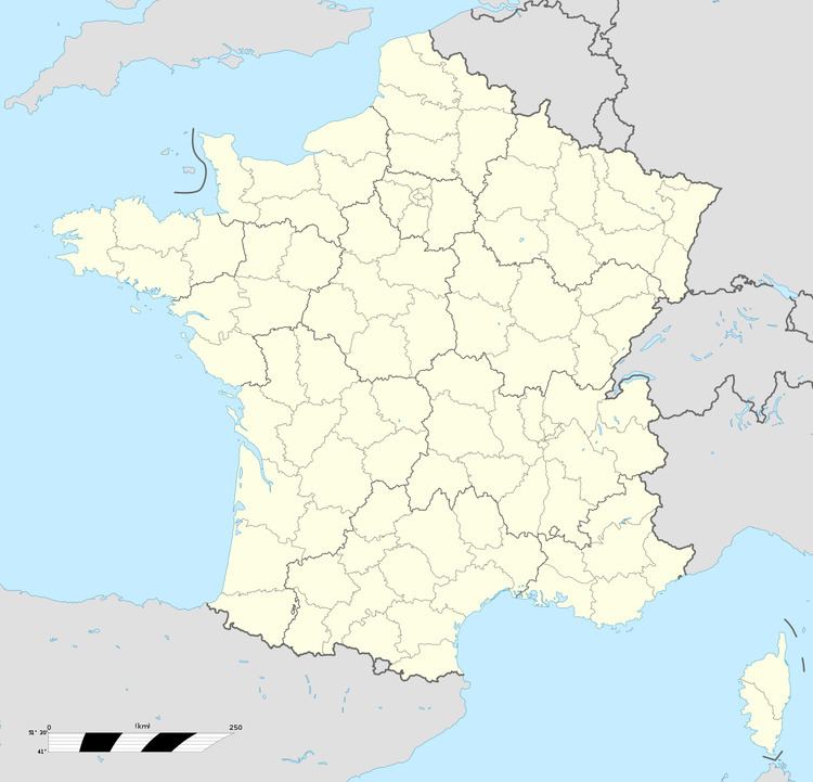
Map of 80150 Dompierre-sur-Authie, France
It is slowly depopulating like most of the countryside towns of this region, with the last shop and last hairdresser in the village having closed in the 1990s. Nevertheless, there is a strong identity and social life in the town, which retains its own primary school.
Geography
The commune is situated on the D119 road, on the banks of the river Authie, the department border with the Pas-de-Calais, some 17 miles (27 km) north of Abbeville. The railway line, part of the Réseau des Bains de Mer system opened on 19 June 1892 and closed on 10 March 1947. Dompierre-sur-Authie was the northern terminus of the branch from Abbeville. The station is still standing and recognisable as such, though it is now a private dwelling.
History
There are two buildings in the town which are described as chateaux. The town is mentioned (though its name is misspelled) in the Appendix of Heinz Guderian's memoirs 'Panzer Leader', and it is clear that Guderian moved his units through Dompierre on 22 May 1940 and briefly had his HQ stationed there when moving from Abbeville in the direction of Montreuil-sur-Mer.
