
Area 60 ha | City Pittsburgh Population 301 (2010) | |
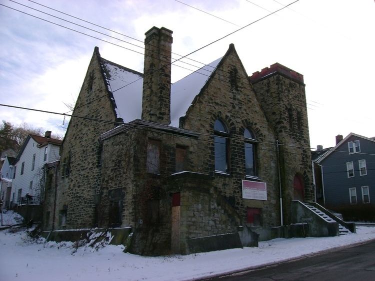 | ||
Esplen is a neighborhood in Pittsburgh, Pennsylvania's west city area. It has a zip code of 15204, and has representation on Pittsburgh City Council by the council member for District 2 (West Neighborhoods).
Map of Esplen, Pittsburgh, PA, USA
The area bears the name of John Esplen, an early settler. Esplen started out as a Railroad Camp, which housed workers building the various railroads which border Esplen.
Esplen is bordered to its north by the Ohio River, to the west by Chartiers Creek (which feeds into the Ohio at Esplen) and McKees Rocks, to the south by Sheraden, and to the east by Elliott.
Major intersecting streets in Esplen are Tabor (which cuts Esplen in half as well as providing access to Sheraden via the Radcliffe St. Bridge), and West Carson Street which borders all of the northern portion of Esplen, between Esplen and the old P&LE Railroad right of way (now CSX) and the Ohio River.
Esplen is part of Pittsburgh and is in the Pittsburgh City School district.
Esplen is approximately 7 minutes from Downtown Pittsburgh via Port Authority of Allegheny County bus service.