Girish Mahajan (Editor)

Española Cove

Updated on
Edit
Like
Comment
Share on FacebookTweet on TwitterShare on LinkedInShare on Reddit
Española Cove

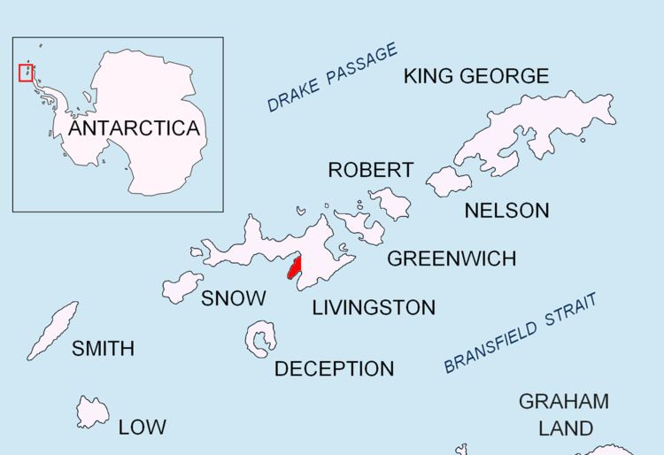
Española Cove is an 1.2 km wide embayment indenting for 250 m the northwest coast of Hurd Peninsula, Livingston Island in the South Shetland Islands, Antarctica. It is part of South Bay entered between Ballester Point and Polish Bluff. The cove is used for the transfer of people and cargo to the Spanish base Juan Carlos I situated at its head. The area was frequented by early 19th century sealers operating from nearby Johnsons Dock.

Contents

The feature was mapped and named by the Spanish Antarctic Expedition in 1991.

Location

The cove's midpoint is located at 62°39′35.2″S 60°22′59.8″W which is 1.83 km south-southwest of Hespérides Point and 7.25 km north-northeast of Miers Bluff (British mapping in and 1968, detailed Spanish mapping in 1991, and Bulgarian mapping in 1996, 2005 and 2009).

Maps

  • Isla Livingston: Península Hurd. Mapa topográfico de escala 1:25 000. Madrid: Servicio Geográfico del Ejército, 1991.
  • L.L. Ivanov. Livingston Island: Central-Eastern Region. Scale 1:25000 topographic map. Sofia: Antarctic Place-names Commission of Bulgaria, 1996.
  • L.L. Ivanov et al. Antarctica: Livingston Island and Greenwich Island, South Shetland Islands. Scale 1:100000 topographic map. Sofia: Antarctic Place-names Commission of Bulgaria, 2005.
  • L.L. Ivanov. Antarctica: Livingston Island and Greenwich, Robert, Snow and Smith Islands. Scale 1:120000 topographic map. Troyan: Manfred Wörner Foundation, 2009. ISBN 978-954-92032-6-4
  • References

    Española Cove Wikipedia


    Similar Topics