Time zone BRT (UTC-3) Area 193.7 km² | Microregion Ourinhos Website link Elevation 520 m | |
 | ||
Espírito Santo do Turvo is a municipality in the Brazilian state of São Paulo. The population in 2010 was 4,246 and the area is 193.655 square kilometres (74.771 sq mi). The elevation is 520 metres (1,710 ft).
Contents
- Map of EspC3ADrito Santo do Turvo State of SC3A3o Paulo Brazil
- Esp rito santo do turvo foram 6 meses de sufoco na cidade
- History
- Government
- Geography
- Demography
- Economy
- Transport
- References
Map of Esp%C3%ADrito Santo do Turvo - State of S%C3%A3o Paulo, Brazil
Esp rito santo do turvo foram 6 meses de sufoco na cidade
History
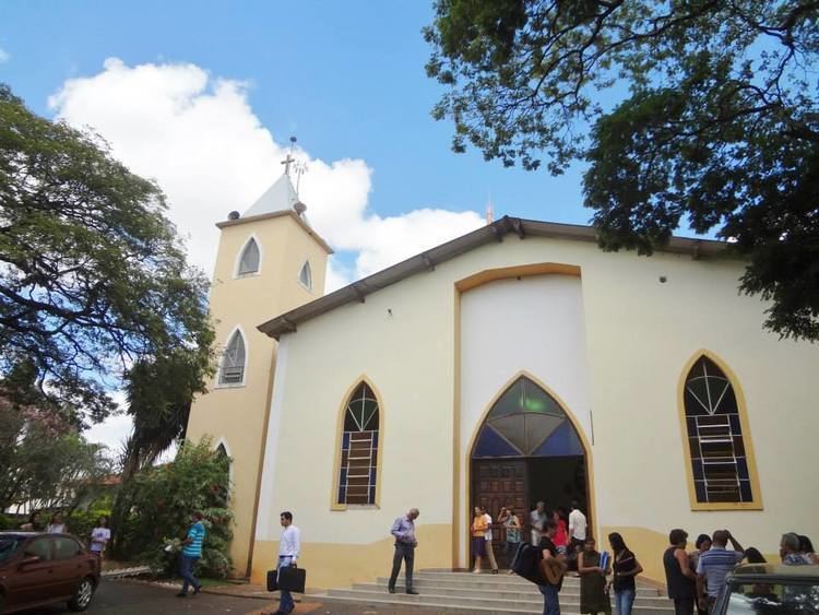
The donation of a tract of land for the construction of a church is the landmark in the history of this city. On 23 March 1878, after significant growth Espírito Santo do Turvo (English: Holy Spirit of Turvo) received the title of Freguesia, a secondary local administrative unit in Portugal, by Law No. 08, and was marked as a Religious Heritage Site. Seven years later, in March 1885, the Law No. 20 raised it to the level of Town.
Government
Geography
Espírito Santo do Turvo is located in the southern-subtropical part of Brazil, at 22 degrees, 41 minutes, 31 second south, and 49 degrees, 25 minutes, 48 seconds west, at an altitude of 520 metres (1,710 ft), in the internal part of the State of São Paulo. It covers an area of 193.655 square kilometres (74.771 sq mi).
Demography
Its population in 2010 was 4,246 inhabitants.
Total population: 3,677
Density (hab./km²): 19.22
Infant mortality up to 1 year old (per thousand): 16.70
Life expectancy (years): 70.78
Fertility rate (children per woman): 2.63
Literacy rate: 87.69%
Human Development Index (HDI): 0.755
Economy
Its economy is based on agriculture with large production of peanuts and cotton. Espírito Santo do Turvo is an important junction to the south, Mato Grosso, and other regions.
