
Country Iran Bakhsh Central Population 389,102 (2011) Province Tehran Province | County Eslamshahr Time zone IRST (UTC+3:30) Local time Wednesday 3:22 AM | |
 | ||
Weather 5°C, Wind NW at 8 km/h, 64% Humidity University Islamic Azad University Islamshahr Branch Neighborhoods Shahrak Laleh, Ghaemiyeh, Mafinabad Similar Robat Karim, Pakdasht, Varamin | ||
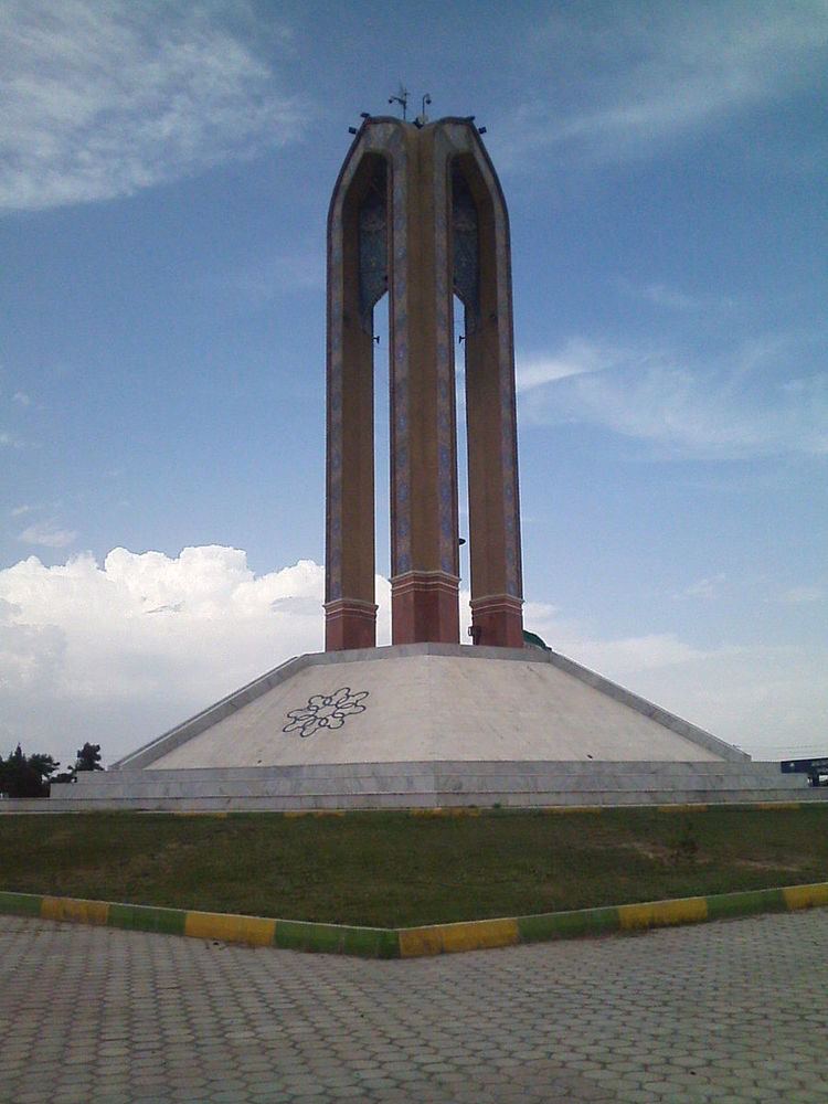
Eslamshahr (Persian: اسلامشهر, also romanized as Eslāmshahr), is a city in and the capital of Eslamshahr County, Tehran Province, Iran.
Contents
Map of Eslamshahr, Tehran Province, Iran
History
The old, historic name of Bahramabad is now applied only to a small northern suburbs of Eslamshahr, or the "village of Bahramabad") At the 2006 census, its population was 357,171, in 91,293 families. As of 2011, Eslamshahr is the 19th largest city in Iran.
Geography
The city is located on the Saveh Road, which starts in the south of Tehran, and ends at Saveh City.
Its neighborhoods are Vavan, Ghaemieh, Saeedieh, Mohamadieh, Mahdieh, Baghenarde, Saloor, Noori, Ghasemabad, Ahmadabad, Ghods, Baghqfeiz, Zarafshan, Moosiabad, Anbia and Mianabad.
Climate
The highest recorded temperature was 51 °C (124 °F), recorded on July 10, 1990, while the lowest recorded temperature was −13 °C (9 °F), recorded on January 2, 1973.
Transport
Eslamshahr is known for its handcrafted articles and its good weather. It also has Imam Khomeini International Airport within its city limits.