
 | ||
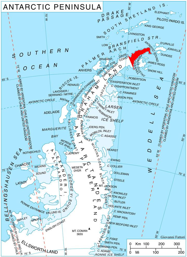
Erul Heights (Bulgarian: Ерулски възвишения, ‘Erulski Vazvisheniya’ e-'rul-ski v&z-vi-'she-ni-ya) are the heights rising to 1092 m (Gigen Peak) on Trinity Peninsula in Graham Land, Antarctica. They are bounded by Russell East Glacier to the south and Cugnot Ice Piedmont to the north, extending 8 km from Benz Pass in east-southeast direction towards Smokinya Cove, and surmounting Prince Gustav Channel, Weddell Sea to the southeast.
Contents
Map of Erul Heights, Antarctica
The heights are named after the settlement of Erul in Western Bulgaria.
Location
Erul Heights are centred at 63°42′10″S 58°21′10″W. German-British mapping in 1996.
Maps
References
Erul Heights Wikipedia(Text) CC BY-SA