
- elevation 972 m (3,189 ft) - elevation 129 m (423 ft) | - location near Boulder Flat | |
 | ||
Mouths | ||
The Errinundra River is a perennial river of the Bemm River catchment, located in the East Gippsland region of the Australian state of Victoria.
Contents
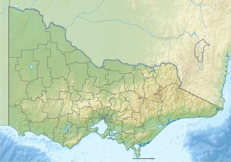
Map of Errinundra River, Club Terrace VIC, Australia
Course and features
Errinundra River rises below Cobb Hill, part of the Errinundra Plateau, in remote country in the Errinundra National Park, and flows generally south by east, joined by the Ada River and five minor tributaries, before reaching its confluence with the Combienbar River to form the Bemm River, near Boulder Flat, northwest of the town of Cann River in the Shire of East Gippsland. The river descends 844 metres (2,769 ft) over its 28-kilometre (17 mi) course.
The Errinundra River sub-catchment area is managed by the East Gippsland Catchment Management Authority.
References
Errinundra River Wikipedia(Text) CC BY-SA