
Local time Sunday 3:39 PM | Time zone EET (UTC+2) | |
 | ||
Weather 10°C, Wind NW at 6 km/h, 56% Humidity | ||
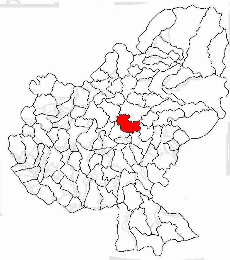
Ernei (Hungarian: Nagyernye, [nɒɟɛrɲɛ]) is a commune in Mureș County, Transylvania, Romania, composed of six villages:
Contents
Map of Ernei 547215, Romania
History
It formed part of the Székely Land region of the historical Transylvania province. Until 1876, it fall within Marosszék, thereafter until 1918, the village belonged to the Maros-Torda County of the Kingdom of Hungary. After the Treaty of Trianon of 1920, it became part of Romania. As a result of the Second Vienna Award, it belonged to Hungary again between 1940 and 1944. After World War II, it came under Romanian administration and became part of Romania in 1947. Between 1952 and 1960, it formed part of the Hungarian Autonomous Province, then, of the Mureș-Hungarian Autonomous Province until it was abolished in 1968. Since then, the commune is part of Mureș County.
Demographics
The commune has an absolute Székely Hungarian majority. According to the 2002 census, it has a population of 5835, of which 75.3% were Hungarian, 16.7% Romanian and 7.9% Roma. It reached its maximum population in 1966 with 6014 people.