
Population (2006) 5,793 Area 36.53 km² | Time zone CET (UTC+1) Local time Sunday 4:22 PM | |
 | ||
Weather 10°C, Wind NW at 21 km/h, 89% Humidity | ||
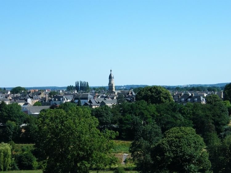
Ernée is a commune in the Mayenne department in north-western France.
Contents
Map of 53500 Ern%C3%A9e, France
It is named after the River Ernée, which runs through the town and is situated about halfway between the towns of Laval and Fougères. Ernée is home to a purpose built motocross track, which has been used in the Motocross World Championships and 2005 Motocross des Nations.
Neighboring communes
The commune is bordered by the communes of Montenay, Saint-Pierre-des-Landes, Vautorte, La Pellerine, Saint-Hilaire-du-Maine, Saint-Denis-de-Gastines.
Twin towns — Sister cities
Ernée is twinned with:
References
Ernée Wikipedia(Text) CC BY-SA